
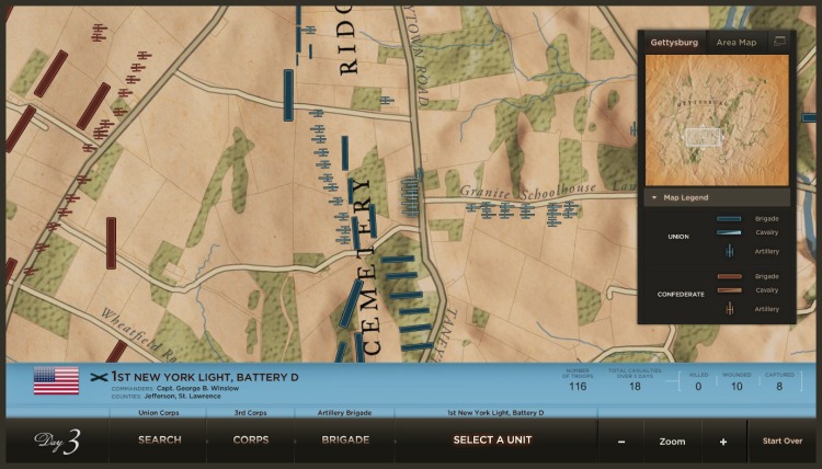


Armies at Gettysburg Battle Maps
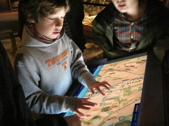
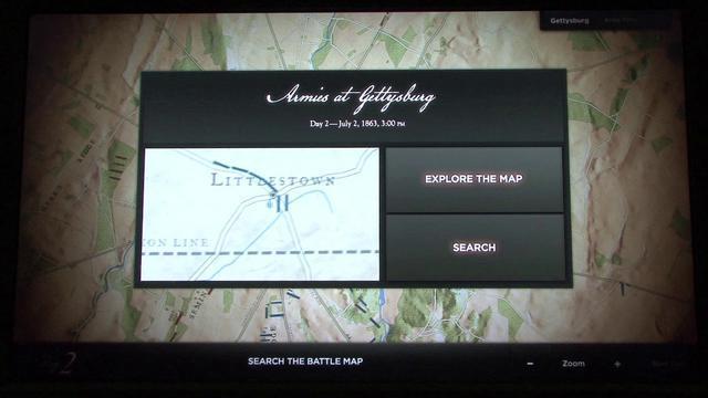
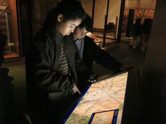
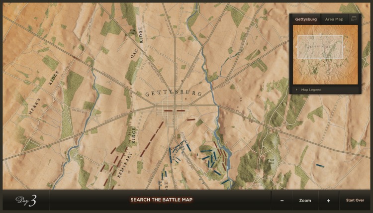
In three different galleries, each focusing on one day in the Battle of Gettysburg, these interactive maps provide detailed data on Union and Confederate troops and their field locations.
Gettysburg draws visitors with a range of knowledge about the battle, from those who know little or nothing to throngs of enthusiasts and experts who make regular pilgrimages to the battlefield. These three interactives serve those who crave detailed information about each unit on each day of the battle: visitors can zoom and pan around maps of Gettysburg and outlying areas to visually discover where units were positioned each day, or they can use the menu system to locate units by state, corps, or brigade. When a unit is selected the number of troops within it—including breakdowns of the numbers killed, wounded and captured—along with the names of the commanders are displayed.