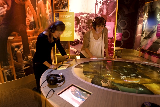
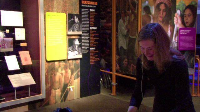
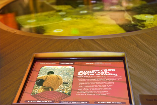
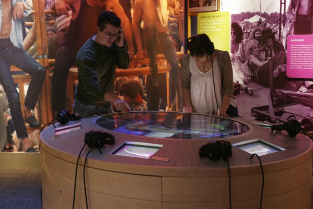


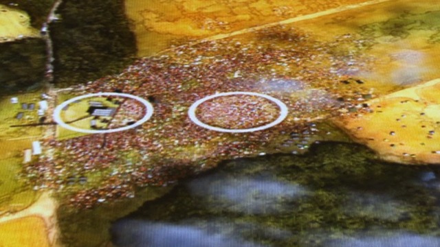


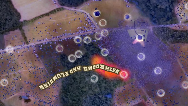


Map of the Woodstock Festival
An interactive, birds-eye view of Max Yasgur’s farm allows groups of visitors to explore the events that unfolded at the Woodstock Festival over three days.
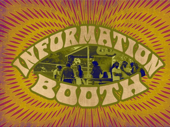
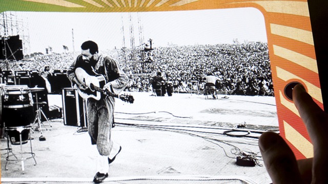
A 6-foot, circular interactive map table recreates the setting and location of Woodstock using a 3-minute time-lapse video animation of the festival; the video combines satellite imagery, altered to capture the 1969 landscape, with detailed animations of the fluctuating weather and crowds over time, all set to an ambient audio soundtrack. Up to six visitors at a time can use interactive stations along the perimeter of the table to explore the fluctuating landscape. With touch screens that serve as track pads, visitors can select every notable location on the festival grounds and discover, through narration, images, videos, and text, what took place over those three eventful days. As returning festival attendees bring more stories back to Bethel, the museum staff has the ability to add additional content to the table through a robust content management system.