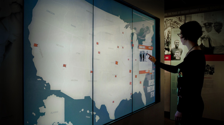


Mapping the Movement
Interactive wall maps of the United States show visitors that the segregated schools and lunch counters of the Jim Crow era were not unique to the South.
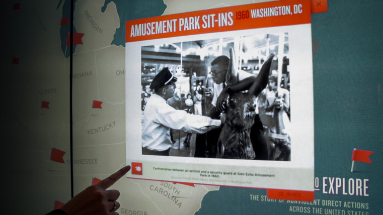
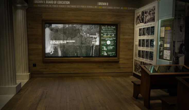
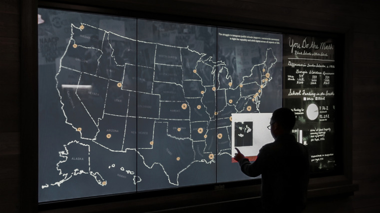
At Desegregating the Schools and Boycotts, Pickets, and Sit-Ins, visitors can select a hotspot in their home state, making a personal connection to historic milestones. From landmark court decisions to small local victories against segregation, stories are brought to life with photos, videos, and other archival materials. A looping animation across the top of each screen draws visitors in with large-scale imagery and depicts the wider narrative arc of the history of desegregation efforts in the United States.
Desegregating the Schools shows visitors that at one time, “whites only” classrooms could be found from coast to coast. At Boycotts, Pickets, and Sit-Ins, a timeline that spans more than 100 years shows that nonviolent direct action was used as a desegregation tactic long before the sit-ins and boycotts of the 1960s ignited a wildfire of change across the country.