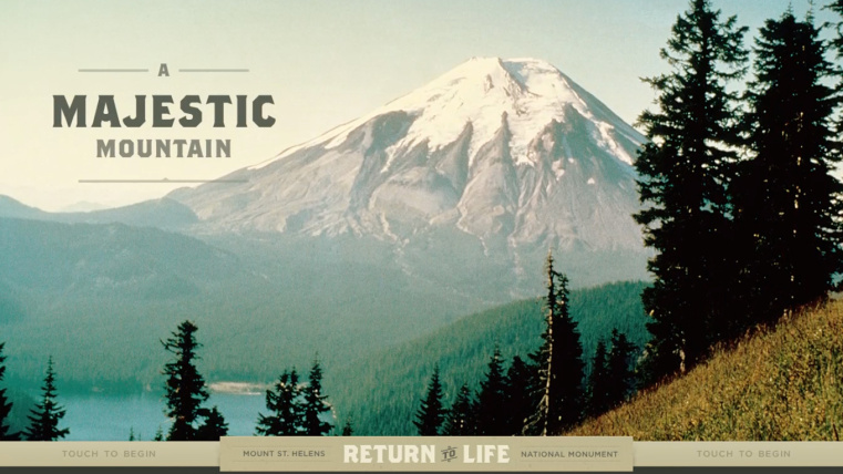


Mount St. Helens: Return to Life
Since the historic eruption at Mount St. Helens scientists have been observing how life has returned to a devastated landscape; this interactive kiosk collects, preserves, and presents highlights of their ongoing discoveries.
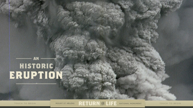
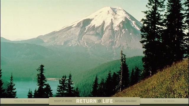
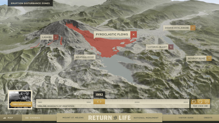
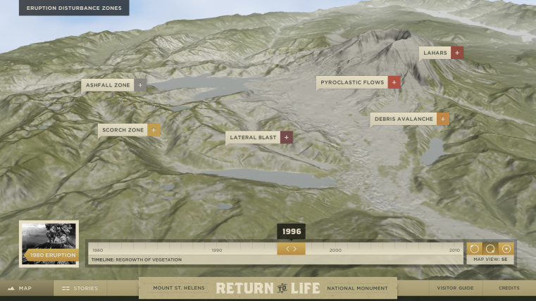
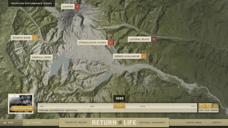
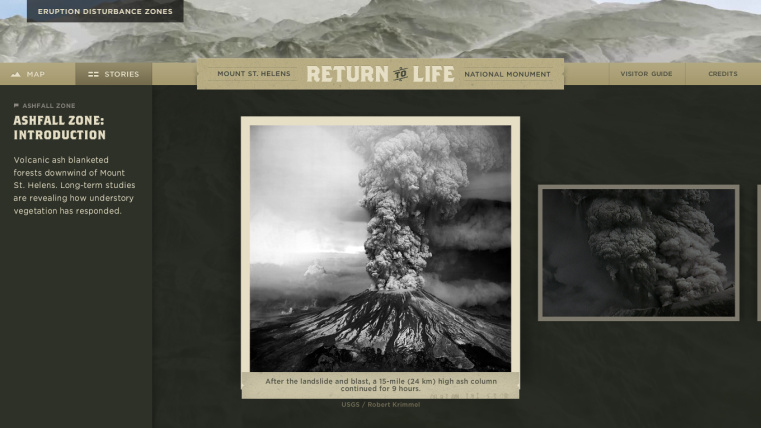
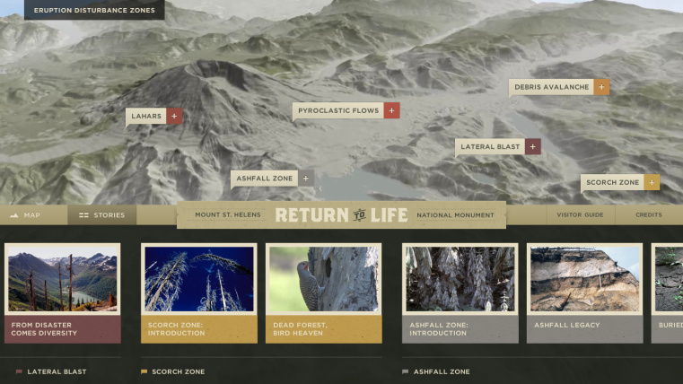
The catastrophic 1980 eruption of Mount St. Helens transformed a mountain and many of its surrounding landscapes, ecosystems, and habitats while at the same time clearing the stage for entirely new creative productions to unfold. The equilibrium of a mature ecosystem was disrupted providing new opportunities for flora and fauna. While the eruption is often described as a single event it was in reality comprised of a series of discreet geological events that each gave rise to distinct “disturbance zones.” The zones are captured in a custom-built, interactive 3D model of the mountain which forms the foundation for the storytelling in this experience. Layered on the map is a timeline of three decades of vegetative regrowth, which shows how quickly plant-life is recovering and where.
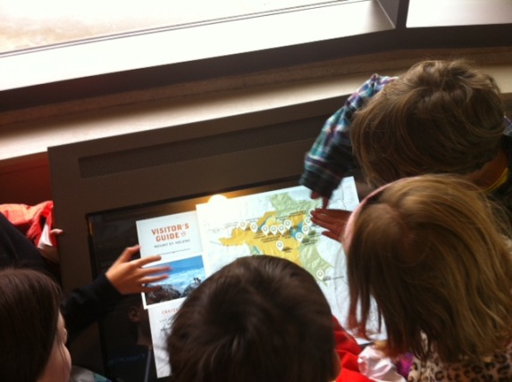
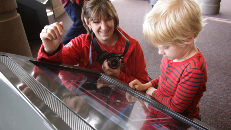
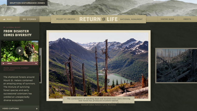
The unique biological responses in each zone are revealed through a collection of stories recounted by field scientists. While watching and listening to the video interviews visitors can navigate through archival photographs and footage that help illuminate the return to life. The hundreds of images in the program show the mountain from all angles, from each disturbance zone, and from each distinct phase of biological recovery. As new discoveries and research are collected, they can be added to the program to keep it fresh and accurate. From woodpeckers finding homes in trees killed by the blast to vines that survived for seven years buried beneath tephra, the mountain continues to tell a story of transformation, resiliency, and rebirth.