


Theban Mapping Project
Interactive maps, measured drawings, and models of every tomb in the Valley of the Kings interconnect thousands of photographs, illustrations, and exhaustive research in this new standard for archeological publishing.
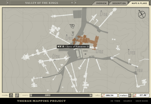
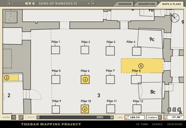
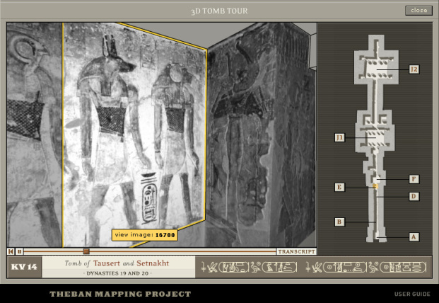
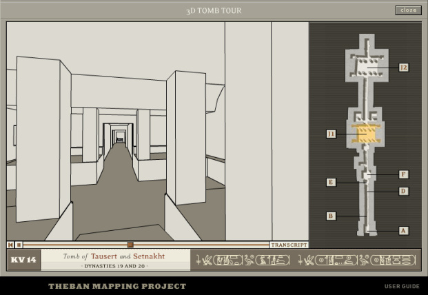
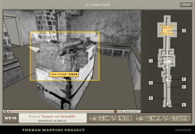
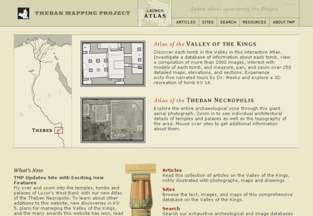
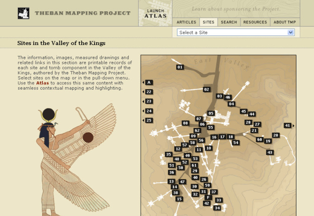
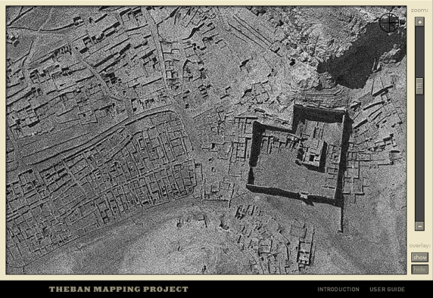
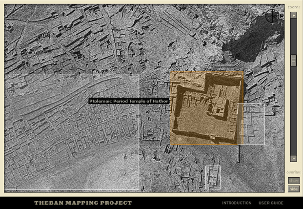
The Valley of the Kings is one of the most famous archaeological sites in the world. From 1500–1000 B.C. the Egyptians buried their pharaohs here in grand underground complexes. Since 1978, the Theban Mapping Project, under the direction of well-known Egyptologist Dr. Kent Weeks, has been working to prepare a comprehensive archaeological database of the valley and the entire Theban Necropolis—the first and most important step in preserving the fragile heritage of these monuments. With information about every archaeological, geological, and ethnographic feature in the Valley of the Kings, nearly 2,000 photographs and illustrations, over 250 detailed maps, elevations and sections, exhaustive bibliographic resources, articles, glossaries, and timelines, this dynamic Web site sets a new standard for archeological publishing—one that is informative, innovative, and interactive. From professional Egyptologists to school children, this site serves the needs of wide and diverse audiences. Visitors unfamiliar with the subject matter can go on a virtual tour of a tomb in 3-D or watch narrated movies for each tomb while advanced scholars can research the architecture and decoration of every chamber in every tomb in the Valley of the Kings. The interactive atlas displays movies, information, and images within the context of detailed maps and measured drawings in a stand-alone, multimodal tool. The HTML site provides access to printable versions of the same dynamic, database-driven content which will be continually updated with new data, findings, and photography.